Australian Gold and Copper Limited’s Cargelligo Gold Project
Drill Ready Cobar-Style Gold and Polymetallic Targets in Southern Cobar Basin
Background
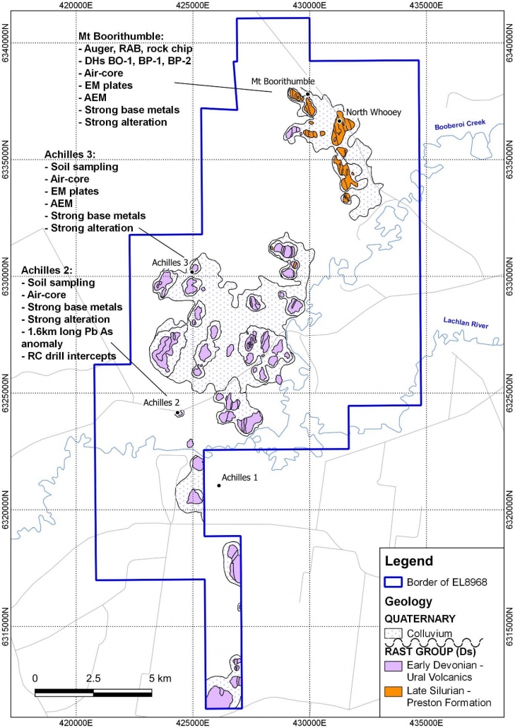
The Cargelligo project consists of an exploration licence covering 227km2 (EL8968 ‘Cargelligo’) and is located 15km west of the town of Lake Cargelligo in NSW. The Project comprises multiple drill ready Cobar-style gold-polymetallic prospects (Au-Ag-Cu-Zn-Pb) within a 15km zone along strike from the Cobar Mining District in the southern Cobar Basin.
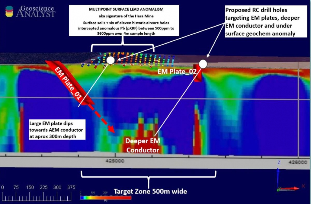
The drill ready prospects are characterised by coincident soil geochemistry and EM conductors identified by a recent government airborne EM Survey (Geological Survey of NSW) and untested ground EM plates, also with coincident IP prospects, drill intersections and anomalous shallow drilling geochemistry.
The drill ready Mount Boorithumble and Achilles 3 prospects t are located along strike from and considered exploration lookalikes of Aurelia Metals’ (ASX:AMI) Hera Deposit and the emerging Federation Discovery.
Geological Setting
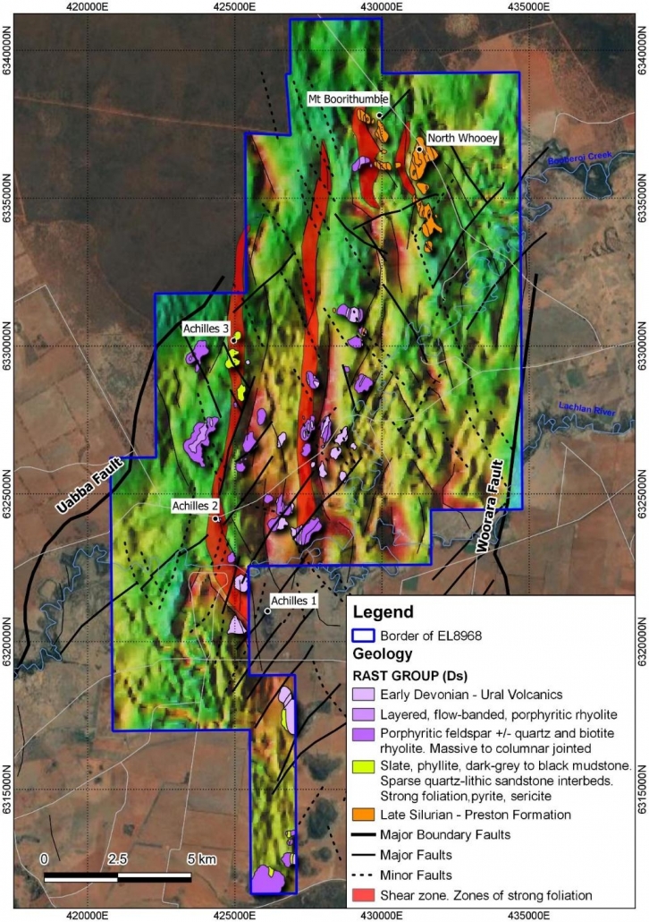
The Cargelligo Project is hosted within the prospective Rast Trough of the Cobar Basin in the Central Lachlan Fold Belt.
The Achilles Shear is a 14km long north-south striking structure on the western side of the tenement within which the rocks are known to be mineralised and intensely altered. It is interpreted to represent the along strike continuation of the Rookery Fault system in the Cobar-Peak area being an important feature controlling mineralisation of the Cobar gold-polymetallic deposits (e.g. Hera, Peak Mines).


